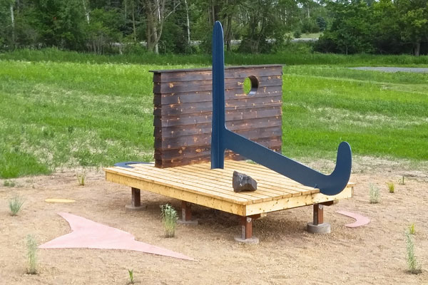
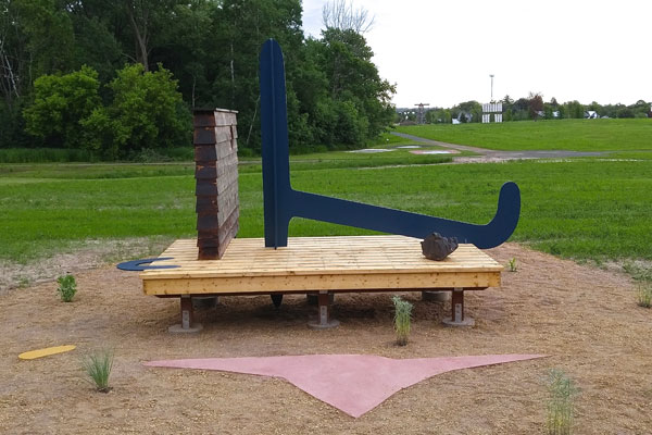
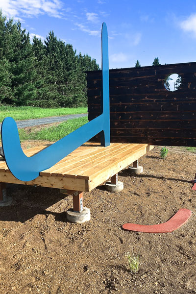
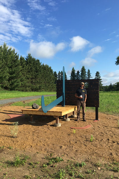
Land Survey Marker
45 ° 22’ 56” N
92 ° 42’ 36” W
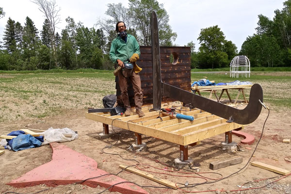
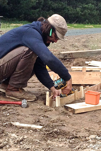
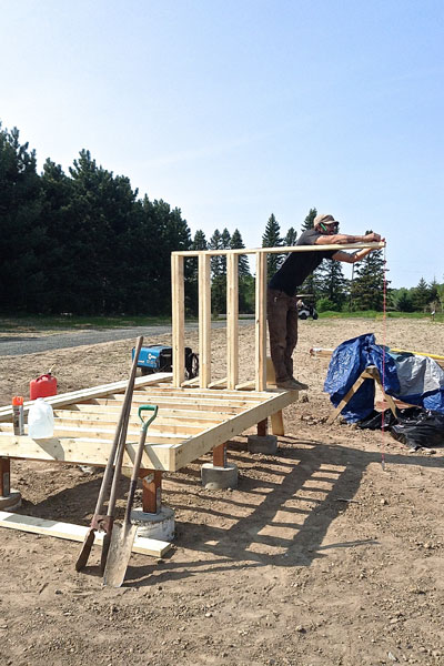
Pier and beam foundation, ½” steel plate, cast in place concrete, let in charred cedar partition, decomposed limestone and washed sand, DTM coating, Virginia Slate from iron range, oat grass, prairie sage, sedum, rattlesnake master, porcupine grass
2016
2016 FSP/Jerome Fellow
Artist Statement
“Survey makers, also called survey marks, survey monuments, or geodetic marks are objects placed to make key survey points on the Earth’s surface. They are used in geodetic and land surveying. Informally, such marks are referred to as benchmark, although strictly speaking the term “benchmark” is reserved for marks that indicate elevation. Horizontal position markers used for triangulation are also known as triangulation stations. “
Land Survey Marker is a drawing where the relationship of plan and elevation share a disconsolate relationship. Here is a nomadic architecture where the assimilated language of construction converges with the reductive forms of the desert all predicated on a likeness. Location is an integral facet to the work, which ranges from the remembered space of 1/2” plate to the corporeal intersection of longitude and latitude. I explore how objects mediate reality and how I vicariously experience things through them. I am interested in how process and materiality projects as an image that they possess associative, narrative potential and fulfill utilitarian and familial roles. It is escapism from the built environment through the overlay, disregarding one veracity in favor of another, a daydream.
Ian Jones
Born: Cleburne, TX, USA, 1985
Resides: Bronx, NY, USA
Education
MFA, Cranbrook Academy of Art, 2012
BFA, Washington University – St. Louis, 2008
